

Technologies & Services
-
Hyperspectral
Hyperspectral imaging assesses tree health, stress/deficiencies, and maps soil moisture, nutrients, and organic content for targeted ecosystem management.
-

LiDAR
LiDAR generates high-resolution 3D topographic maps, measuring forest canopy structure, biomass, and terrain features. It monitors erosion, fire fuel loads, and site suitability.
-

Satellite Imaging
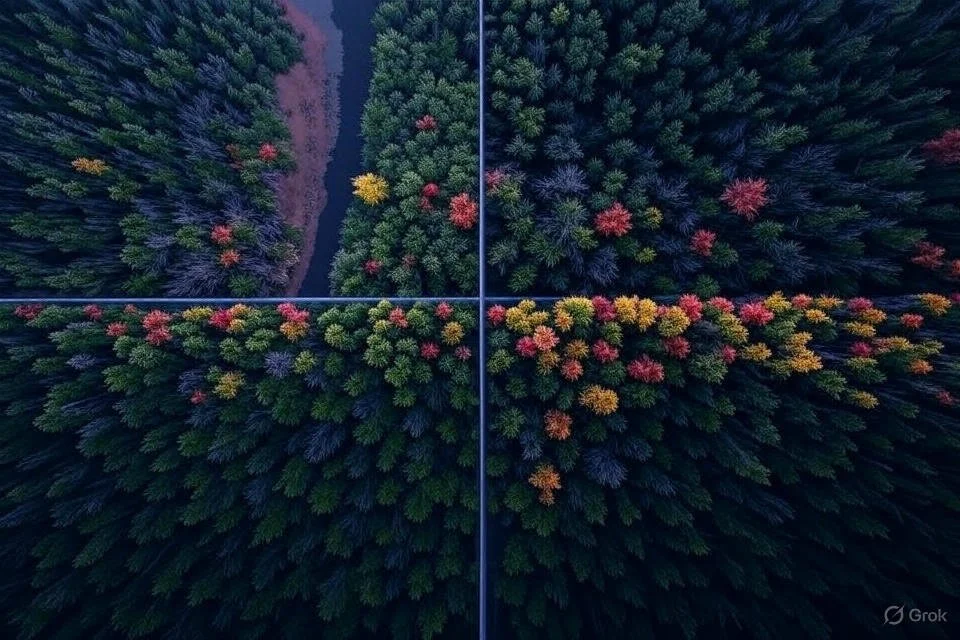
3rd party satellite companies provide immediate large-scale imagery and data, monitoring land use, vegetation, and climate trends. Complemented by on-the-ground ISB drone data.
-

Artificial Intelligence
AI analyzes multi-source data to track biodiversity, identifying species and habitat changes. Also enables early forest fire detection and assesses flooding risks through predictive modelling.
Want to Learn More?
Expand the various sections on the right to learn more about why biochar production and the ISB circular economy are critical to what we do and how they drive the results of your planting initiatives.
-
Hyperspectral imaging (HSI) is an advanced remote sensing technique that captures and processes information across a wide range of electromagnetic spectrum wavelengths, typically from 400 to 2500 nm, using hundreds of contiguous spectral bands. Unlike traditional imaging, which relies on red, green, and blue channels, HSI generates a spectral signature for each pixel, enabling precise identification of material properties based on their unique reflectance patterns. This high spectral resolution facilitates detailed analysis of biochemical and physical characteristics.
In tree health monitoring, HSI detects subtle changes in chlorophyll content, water stress, and pest or disease presence by analyzing reflectance peaks in the visible (400-700 nm) and near-infrared (700-1100 nm) regions. Reduced chlorophyll absorption at 680 nm or altered water absorption at 1450 nm signals stress, allowing early intervention. For soil health, HSI maps moisture content via absorption features around 1400-1900 nm, organic matter through increased reflectance in the 2000-2400 nm range, and nutrient levels (e.g., nitrogen) by correlating spectral indices with soil samples. This data, processed with machine learning algorithms, supports precision agriculture by guiding irrigation, fertilization, and erosion control, enhancing ecosystem resilience and productivity through targeted management practices.
-
LiDAR (Light Detection and Ranging) is a remote sensing technology that uses pulsed laser light to measure distances, creating high-resolution 3D topographic maps by calculating the time-of-flight of reflected signals. Operating primarily in the near-infrared spectrum (around 1064 nm), LiDAR penetrates vegetation canopies to map ground elevation, forest structure, and terrain features with centimeter-level accuracy, unlike hyperspectral imaging’s focus on spectral reflectance.
LiDAR excels in macro-level monitoring, assessing topography by delineating slopes, ridges, and valleys, critical for erosion risk and site suitability analysis. It quantifies canopy height and biomass distribution, informing reforestation planning and fire fuel load assessments by mapping dense vegetation zones. Unlike hyperspectral imaging, which targets micro-level biochemical properties (e.g., chlorophyll or soil moisture), LiDAR provides structural data, such as canopy density and understory height, aiding large-scale ecosystem management. Its point cloud data, processed with GIS software, supports flood modeling by identifying drainage patterns and wildfire risk by analyzing fuel continuity. This macro perspective complements hyperspectral’s detailed spectral insights, enabling integrated land management strategies that address both structural and compositional health across expansive landscapes.
-
Third-party satellite companies accelerate LiDAR and hyperspectral imaging results by leveraging constellations of low-earth-orbit satellites equipped with advanced sensors, enabling frequent, high-resolution data collection over vast areas. These companies process raw data using cloud-based AI algorithms, delivering topographic maps and spectral analyses within hours, far surpassing traditional delays. For LiDAR, satellites generate 3D terrain models with sub-meter accuracy, while hyperspectral satellites capture hundreds of spectral bands to map vegetation health and soil composition with enhanced detail.
Aerial drones complement this by conducting targeted, high-precision surveys, achieving up to 1cm accuracy. Equipped with LiDAR and hyperspectral sensors, drones cross-reference satellite data, refining tree placement and project details. LiDAR drones penetrate canopies to pinpoint exact tree heights and locations, while hyperspectral drones detect micro-level stress indicators, aligning with satellite spectral signatures. This synergy allows real-time validation, improving accuracy for reforestation, erosion control, and infrastructure planning by integrating macro-scale satellite insights with micro-scale drone precision.
-
Artificial intelligence (AI) employs sophisticated computational techniques to process and interpret multisource data for biodiversity tracking, forest fire early detection, and flooding risk identification. For biodiversity tracking, AI utilizes convolutional neural networks (CNNs) to analyze high-resolution satellite and drone imagery, extracting spatial and temporal features such as species-specific textures and movement trajectories. These CNNs are trained on annotated datasets containing labeled species and migratory patterns, enabling pixel-wise classification to map population distributions. For animal health and growth, AI integrates thermal imagery and acoustic recordings into recurrent neural networks (RNNs) with long short-term memory (LSTM) units. These models detect subtle anomalies—e.g., elevated thermal signatures indicating illness or altered vocalization frequencies signaling stress—by comparing real-time data against baseline profiles, providing quantitative growth metrics and health indices.
For forest fire early detection, AI processes real-time sensor data (temperature, humidity, CO2 levels) and LiDAR-derived 3D fuel load maps using unsupervised anomaly detection algorithms, such as autoencoders, to identify deviations from normal conditions. Simultaneously, RNNs with LSTM layers analyze historical fire incidence data, correlating environmental variables (e.g., wind speed, dryness index) to generate probabilistic risk maps, triggering alerts when thresholds are exceeded. In flooding risk identification, AI fuses LiDAR topographic data with precipitation forecasts and hydrological models within a reinforcement learning framework. This involves optimizing a policy network to simulate water flow dynamics, iteratively adjusting parameters based on simulated flood extents and elevation gradients, pinpointing high-risk zones with centimeter precision. These detailed AI processes enhance predictive accuracy, enabling proactive ecosystem and safety management.
Internet of Things (IoT)
Innovative Sustainable Biotechnologies (ISB) leverages a proprietary Internet of Things (IoT) network, combining hyperspectral imaging, LiDAR, AI, satellite data, and third-party sensors with automated irrigation valves, soil moisture sensors, and autonomous vehicles equipped with Real-Time Kinematic (RTK) systems. Hyperspectral imaging and LiDAR provide spectral and topographic data, respectively, mapping tree health, soil moisture, and terrain features. AI processes this data, using CNNs and RNNs to predict water needs and identify stress zones, while satellites expedite large-scale monitoring. Soil moisture sensors, embedded at various depths, transmit real-time hydration levels to the IoT hub, triggering automated irrigation valves to deliver precise water volumes, optimizing usage by over 80%. Autonomous vehicles with RTK systems, offering centimeter-level accuracy, navigate project sites to plant trees, apply biochar amendments, and collect ground-truth data, cross-referencing satellite insights. This integrated system enables continuous data flow, with IoT devices communicating via low-power wide-area networks (LPWAN), ensuring minimal latency. The result is enhanced tree growth through targeted watering and nutrient delivery, improved soil health via biochar and moisture balance, and significant water savings, supporting sustainable reforestation and carbon sequestration goals with real-time adaptability.

